Las Vicuñas National Reserve
Las Vicuñas National Reserve
Protected altiplano between Arica and Parinacota, Las Vicuñas Reserve is home to vicuñas, volcanoes over 5,500 m, Andean lagoons and Aymara hamlets.
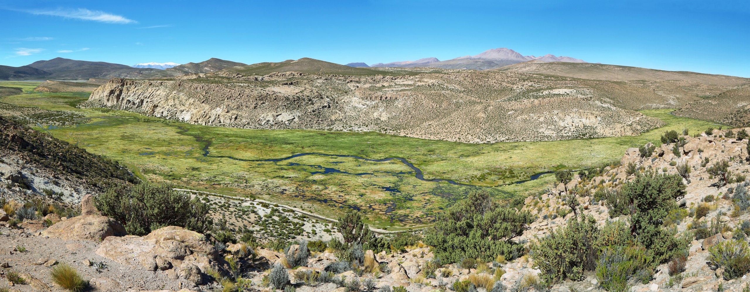
The Las Vicuñas National Reserve protects more than 210,000 hectares of Andean altiplano between Arica and Parinacota, in Chile's far north. Volcanoes rising above 5,500 meters, herds of vicuñas, high-altitude lagoons, Aymara hamlets and pre-Columbian altars compose a challenging yet ecologically and culturally coherent territory.
Why visit Las Vicuñas Reserve
Less frequented than its neighbor, the reserve appeals to those seeking a pristine altiplano without the crowds of the Lauca National Park. Visitors come for three main reasons:
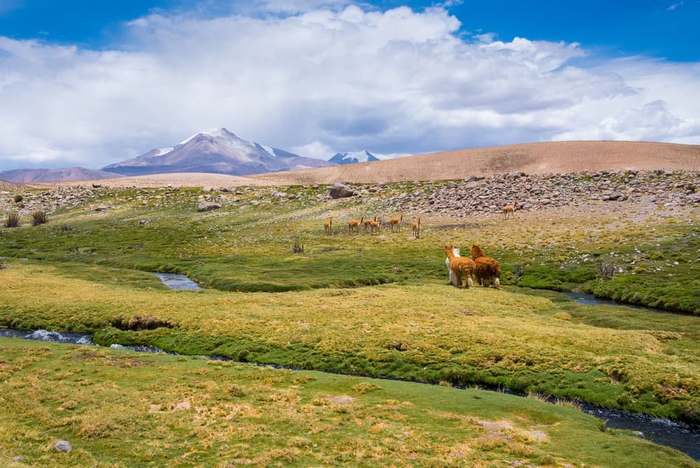
- Observe the vicuña in its natural habitat, an emblematic species that gave the reserve its name.
- Approach volcanoes exceeding 5,000 meters and puna landscapes: steppes, wetlands (bofedales), saline lagoons.
- Encounter living Andean heritage: Aymara villages, camelid herding (llamas, alpacas), Inca apachetas and the fortified colonial church of Guallatire.
Entry is free, but isolation and altitude require serious logistics.
History and cultural heritage
The reserve was established in 1983 by decree of the Ministry of Agriculture, to protect the vicuña, whose fleece is among the world's finest and which was hunted nearly to extinction. Vicuña hunting is today prohibited by law, and the population has recovered. Las Vicuñas forms, together with Lauca National Park and the Salar de Surire natural monument, the Lauca Biosphere Reserve, recognized by UNESCO.
The territory has long been inhabited by Aymara communities. Apachetas are found here—stone cairns raised during the Inca era and still used as altars dedicated to Pachamama, Mother Earth, and to the apus, mountain spirits. Passersby leave offerings: flower bouquets, tobacco, coca leaves. One should not disturb the stones or these sacred places.
At the foot of Guallatire volcano, the hamlet of the same name houses a fortified colonial church with a bell tower, testament to Andean evangelization of the 17th-18th centuries.
What to see and do
Summits and volcanic landscapes
The terrain is dominated by several peaks exceeding 5,000 meters:
- Arintica: 5,597 m
- Puquintica: 5,407 m
- Guallatire, Bélen, Salle, Anocariri
There are no marked trails outside the main track. Serious ascents are for hikers accustomed to altitude, ideally guided from Putre. More modest hikes take place around lagoons and along the tracks.
Wildlife: vicuñas, condors, rheas
Vicuñas graze in herds across the high plains, distinct from llamas and alpacas, which are domesticated camelids raised by Aymara communities. You may also observe:
- The Andean condor, soaring along the ridges.
- The guanaco, another wild camelid.
- Darwin's rhea (suri), a large flightless running bird, a close cousin to the ostrich.
- The viscacha, an Andean rodent glimpsed among the rocks.
The Lauca and Guallatire rivers, as well as the Quebrada de Chuba, are excellent points for observing aquatic birds.
High-altitude flora
Vegetation is typical of dry puna: tolar (resinous shrubs), Andean steppe, llaretal (yareta cushion plants), quinoa fields cultivated by communities and several cactus species.
Aymara villages and colonial architecture
The village of Guallatire, nestled at the foot of the active volcano of the same name, is the reserve's cultural highlight. Its fortified church with bell tower illustrates Andean religious architecture from the colonial era. Inhabitants practice llama and alpaca herding and maintain the bofedales, these wetlands essential to livestock survival.
Practical information
- Area: more than 210,000 hectares
- Altitude: mostly between 4,300 and 5,600 m
- Entry: free
- Information center: on the A-21 route
- Water and fuel: to be arranged from Putre or Arica, no services on-site
Altitude requires prior acclimatization of 24 to 48 hours, ideally in Putre (3,500 m), before ascending into the reserve. Pack warm clothing, strong sun protection, plenty of water and, if possible, coca leaves for altitude sickness.
When to go
The reserve is open year-round, but the most favorable season is austral summer, from December to March, despite the "Bolivian winter" bringing high-altitude storms in January-February. Temperatures remain contrasting: around 8 °C during the day and as low as -5 °C at night, with a strong daily thermal swing. Austral winter (June to August) offers very clear skies but freezing nights.
How to get there
No public transport serves the reserve. Access is by 4x4 only, from Arica:
- Follow Route 11 toward the Bolivian border, crossing the Lluta valley.
- Stop in Putre to acclimatize to altitude.
- Turn due south onto Route A-21, which crosses the reserve and leads to the Salar de Surire.
Most travelers go through a local agency in Arica or Putre, which provides vehicle, driver and acclimatized guide.
Nearby attractions
- Lauca National Park: direct neighbor, with Lake Chungará and the Payachatas volcanoes.
- Polloquere Hot Springs: natural hot baths on the edge of Salar de Surire, a logical extension southward.
- Azapa Valley: oasis and Chinchorro archaeological site, near Arica.
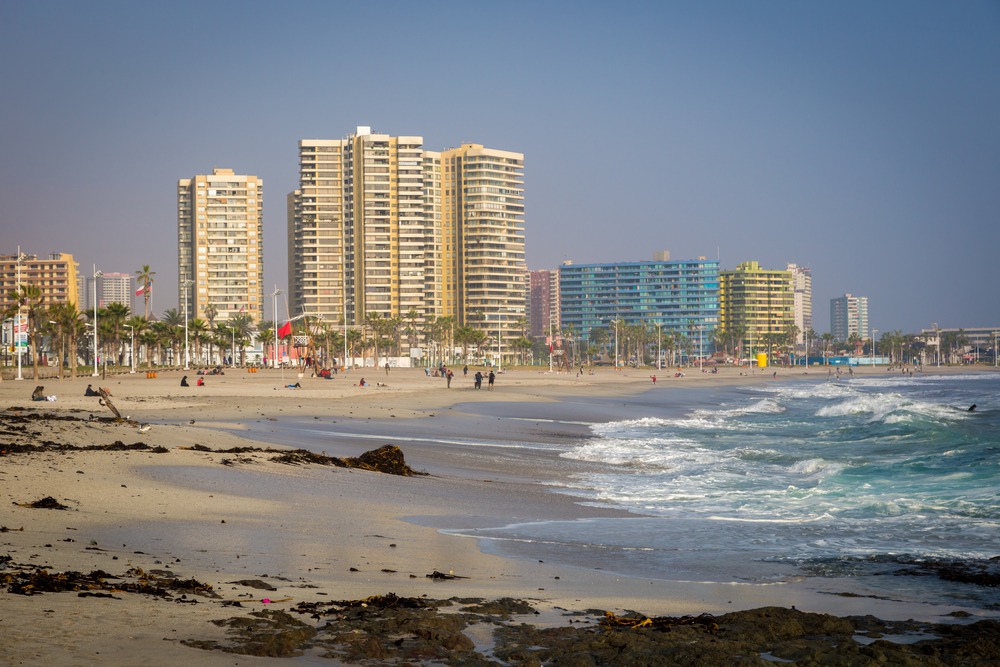
- Arica: base city on the Pacific coast, logistical departure point.
Accommodation is concentrated in Putre (lodges and small high-altitude hotels) or Arica (broader offer, but at sea level, complicating acclimatization).
Frequently asked questions
Frequently asked questions
Plan your trip
Las Vicuñas fits naturally into a circuit through Chile's far north, between Pacific coast, Azapa valley oasis and Lauca altiplano. To build a tailor-made itinerary in the region, consult our trips to Chile.
Interested in this visit?
We can include it in your personalised itinerary.