Salar de Atacama
Salar de Atacama
At 2,500 m altitude in northern Chili, the Salar de Atacama spans 3,000 km² of salt crusts, turquoise lagoons and Andean flamingo colonies.
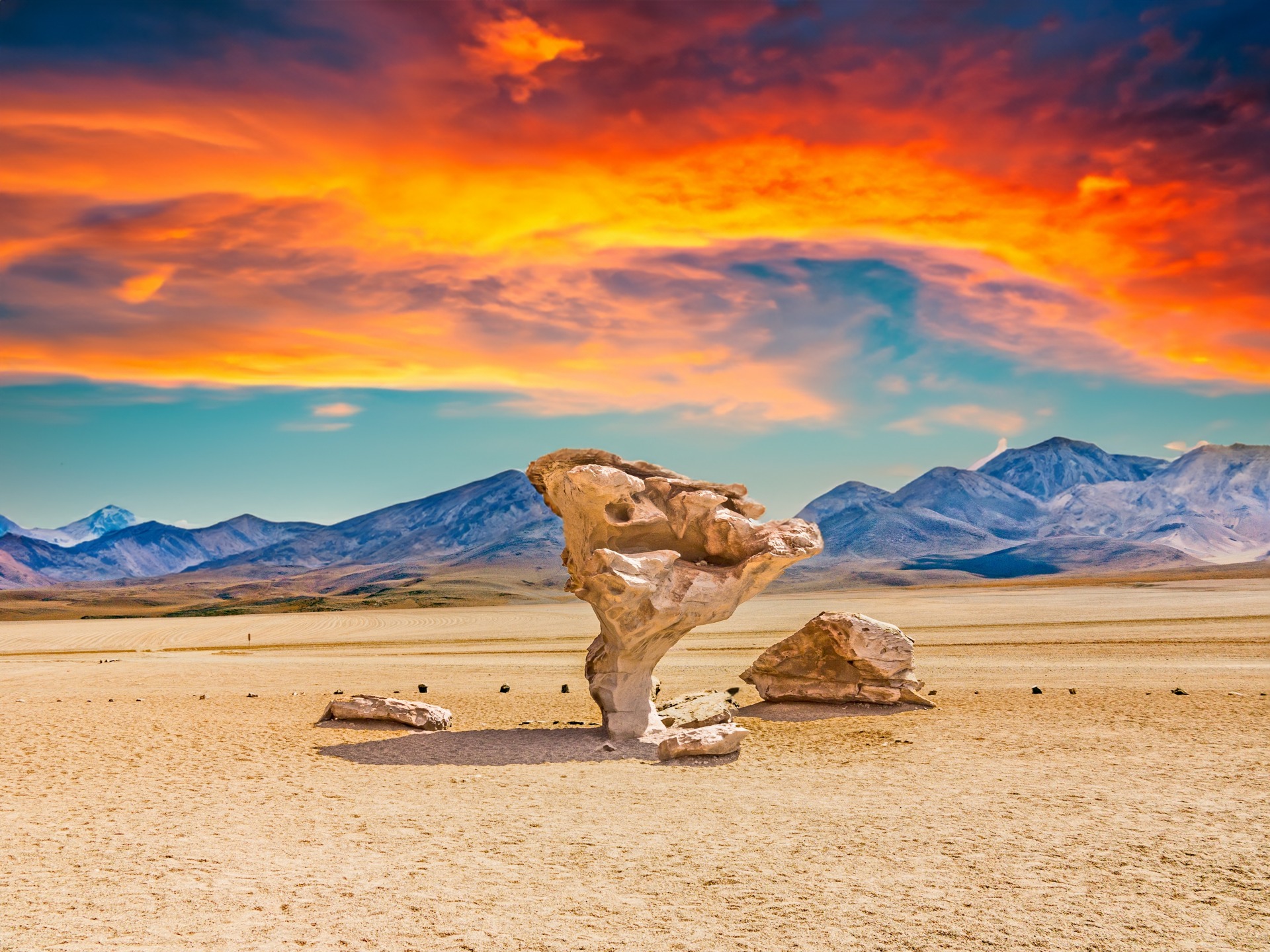
In northern Chili, at 2,500 m altitude, the Salar de Atacama spreads its 3,000 km² of salt crusts at the foot of the Lascar and Licancabur volcanoes. This depression, 100 km long by 80 km wide, ranks among the world's most vast salt expanses, alongside Bolivia's Salar de Uyuni and Argentina's Salinas Grandes. Far more than a mineral landscape, the site hosts turquoise lagoons, pink flamingo colonies and concentrates a major share of the world's lithium reserves.
Why visit Salar de Atacama
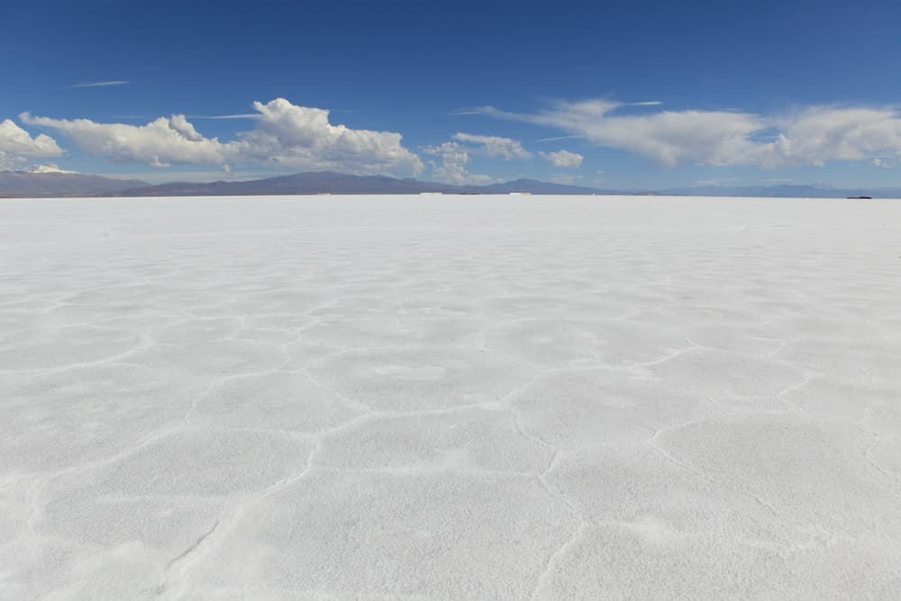
The salar is not a uniform white plain like its Bolivian neighbour: its surface resembles an immense dead coral reef, bristling with beige-grey crystals. This particular texture results from extreme salt concentration, which permits life only to a few specialized organisms — micro-crustaceans that feed three species of Andean flamingos.
The site is part of the Reserva Nacional Los Flamencos, a protected area managed by CONAF. Its visit combines bird watching, unusual bathing in hypersaline lagoons and landscape photography with the Andes cordillera as backdrop. From San Pedro de Atacama, the base town, most sectors are accessible in half a day.
Geological origin
The salar formed over millions of years through a simple mechanism: rainwater and meltwater flowing down from the Andes dissolved the salts in the surrounding volcanic soil, then accumulated in this closed basin, with no outlet to the ocean. Intense evaporation, favoured by the aridity of the Atacama Desert, left salt layers on the surface that built up over the ages. The result is a landscape unique to the world, whose cracked crusts evoke fossilized coral.
The subsoil contains brine highly concentrated in lithium: the Salar de Atacama is estimated to hold approximately 40% of known global reserves, making it one of the planet's principal extraction sites. This industrial exploitation, visible in places, raises tensions around water resources in an already extremely arid region.
What to see on the salar
Laguna Chaxa
Located approximately 50 km south of San Pedro, Laguna Chaxa is the reserve's most emblematic sector. This is where the three species of Andes flamingos live: the Chilean flamingo, the Andean flamingo and James's flamingo. The developed trail allows you to observe them at a reasonable distance, ideally late in the day when raking light illuminates the plumage and water. Plan for 1 to 1.5 hours on site.
Laguna Cejar
Just 19 km from San Pedro, Laguna Cejar displays an emerald green colour due to the basin's depth and salt concentration. The latter, far higher than that of the Dead Sea, allows you to float effortlessly on the surface. A towel and freshwater rinse are essential after bathing. Access to the site is paid and managed by the local community.
Ojos del Salar
On the road to Tebenquiche, two perfectly circular freshwater wells, nicknamed "the eyes of the salar", open in the middle of the salt crust. Bathing here is cooler than at Cejar, the water being significantly less salty. The two basins, separated by a few metres, constitute a geological curiosity linked to underground springs.
Laguna Tebenquiche
Edged with a fine sparkling salt crust, Laguna Tebenquiche is the privileged spot for sunsets. The water mirror reflects the sky's hues and the silhouette of Licancabur, creating remarkable photographic conditions. The site also lends itself to stargazing once night falls.
Practical information
- Altitude: 2,300–2,500 m. No severe mountain sickness but acclimatization advised before heading to the geysers (4,300 m).
- Duration of visit: a minimum of half a day per sector; 2 to 3 days to cover all the lagoons.
- Access to lagoons: paid entry, managed by CONAF or Atacameña communities. Moderate rates, payable in Chilean pesos.
- Equipment: sun protection, sunglasses, hat, plenty of water, warm clothing for evenings.
- Vehicle: some sectors are accessible by rental car; others are best visited as organized excursions from San Pedro.
When to go
The salar's climate combines a strong temperature range — dry heat during the day, temperatures possibly dropping below 0°C at night — and very intense sunshine year-round. Summer rains ("invierno altiplánico", January-February) can render certain tracks impassable.
The most favourable months are October, November and December: mild temperatures, clear skies, moderate crowds. The period late July–August corresponds to Chilean southern winter holidays, with significant crowds and higher rates.
How to get there
Access is via San Pedro de Atacama, the starting point for all excursions:
- By air: domestic flight Santiago – El Loa airport in Calama (approximately 2 hours), then 1.5-hour road transfer to San Pedro.
- By bus: direct connection Santiago – San Pedro, over 20 hours of travel.
- From Bolivia: classic crossing via Salar de Uyuni and Laguna Verde, in 4x4 over 3 days.
Nearby attractions
- Geysers del Tatio — geothermal field at 4,300 m altitude, to visit at sunrise.
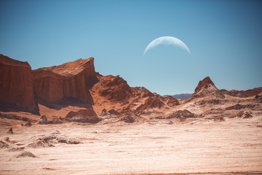
- Valle de la Luna — rock formations and dunes 15 km from San Pedro.
- Piedras Rojas and Miscanti & Miñiques lagoons — high-altitude landscapes south of the salar.
- San Pedro de Atacama — adobe village, logistical and cultural base of the region.
Frequently asked questions
Frequently asked questions
Preparing your trip
Salar de Atacama naturally fits into an itinerary combining desert, altiplano and Andean oases. To build a custom stay including San Pedro, the Tatio geysers and high-altitude lagoons, consult our trips to Chili.
Interested in this visit?
We can include it in your personalised itinerary.